


IASO
Origin language: English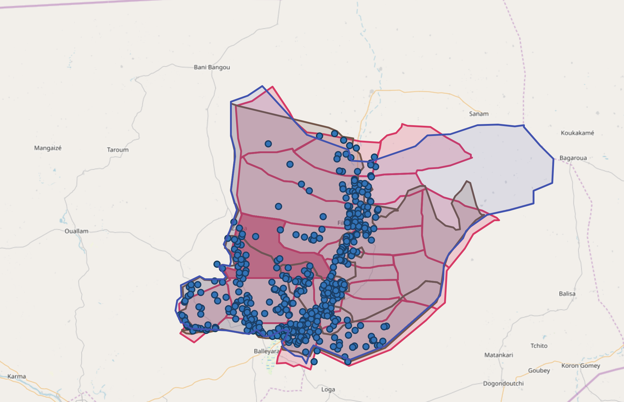
Country
Burkina Faso
Benin
South Sudan
Nigeria
Uganda
Cameroon
Haiti
Senegal
Cote d'Ivoire
Burundi
Mali
Niger
Central African Republic
Democratic Republic of the Congo
Coverage
International
Nb of implementation sites
25
Lead organization
Implementation partners
Abt associates
National Malaria Program (PNLP)
Digital Square
Bill and Melinda Gates Foundation (BMGF)
Cordaid
USAID/Deliver Project
World Bank
Gavi - The Vaccine Alliance
UNICEF
WHO Regional Office for Africa
Mali MoH
Benin MoH
Burkina Faso MoH
South Sudan Moh
Senegal MoH
Burundi MoH
Uganda moh
Ivory coast moh
Cameroon MoH
Nigeria MoH
Niger MoH
Dem. Rep. Congo MoH
Central African Republic moh
Ministry of health and population Haiti
Health Focus Area
Emergencies
Maternal and child health
Vaccination / Immunization
Services
Health logistics
Immunization
Health Management Information Systems (HMIS)
Geographic Information Systems (GIS)
Public health and disease surveillance
Enabling technologies
Software
Standards
Xforms
JSON
Tools
N/A
Funding sources
Donors
Government funds
Business model
No business model
Funders
Summary
IASO is an innovative, open-source, multilingual platform (available in English and French) designed for the comprehensive management of data collection, planning, monitoring, and evaluation of health, environmental, and social programs. Utilizing advanced geospatial capabilities, IASO facilitates structured geographic data management and optimizes field data collection by organizing efforts according to hierarchical levels. Its powerful data visualization tools enhance decision-making processes, making it particularly effective in remote areas thanks to its offline functionality.
Key features of IASO include geo-enabled data collection with customized questionnaires based on XLS forms, georegistry for managing geographic data and hierarchies, microplanning for assigning data collection tasks to specific areas of interest, and the ability to record entities (individuals or items) alongside various workflows (e.g. health centre visits, delivery tracking, or other).
It has been instrumental in updating geographic data in Democratic Republic of the Congo, Côte d’Ivoire, and Burkina Faso, where it also serves as the official georegistry. At the regional level, IASO supports the Global Polio Eradication Initiative in the AFRO region, providing robust geospatial and health facility registry capabilities.
With its advanced geospatial features, IASO is a leading solution for geo-enabled campaign digitalization, enabling precise planning, monitoring, and execution of critical health interventions. Whether for vaccination campaigns (measles, polio, yellow fever, malaria etc.) or the distribution of essential health items (bed nets, seasonal malaria chemoprevention, etc.), IASO ensures efficient targeting and optimized resource allocation.
More recently, IASO has been supporting the digitalization of a United Nations nutrition program for children under five, and pregnant and breastfeeding women, with plans for expansion to multiple countries. Its adaptability and scalability make it a powerful tool for tracking individuals and resources in various contexts, including monitoring community health workers and managing logistics. By providing real-time, high-quality data, IASO enhances decision-making, improves coordination, and ensures that interventions reach those who need them most.
Keywords
Geographic Information Systems (GIS)
Mobile application
Data driven policy decisions
Data collecting and reporting tool
Digitalization
Publications
BMJ Global HealthInsights - Lessons learnt
Challenges
N/A
Recommendations
N/A
Recommendations
Projects using similar services
Projects focusing on similar topics
Projects with similar insights
iDHA (Project ID)
ody9sw
Project links
https://www.openiaso.com/Origin of information
Project stakeholder
Data source link
N/AAdded to the platform on
2025-03-03
Project editors
Last update by
Caroline Perrin on 2025-03-03
Number of views
636
WHO classifications

