


DIPTERON: Using Space technology for global mosquito-borne disease surveillance
Origin language: English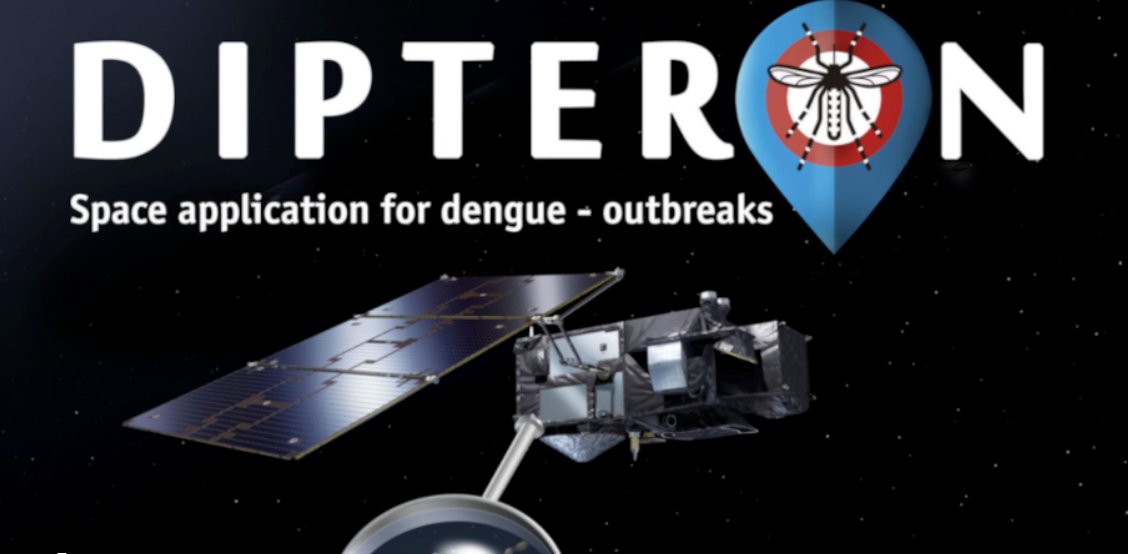
Country
Brazil
Coverage
International
Nb of implementation sites
N/A
Lead organization
Implementation partners
N/A
Health Focus Area
Communicable diseases
Services
Public health and disease surveillance
Enabling technologies
N/A
Standards
N/A
Tools
N/A
Funding sources
Research grants
Donors
Business model
N/A
Funders
N/A
Summary
Dipteron is an application designed to identify areas at risk for Aedes mosquito-borne diseases such as Zika, Dengue, and Chikungunya. By using satellite and ground data, Dipteron creates heat maps that categorize regions into high, medium, and low-risk zones. This predictive capability helps public health officials to implement timely interventions and mitigate the spread of these diseases. Additionally, Dipteron supports international business travelers by providing insights that minimize the risk of infection, ultimately saving time and reducing healthcare costs for organizations by preventing employee sickness. The application aims to protect public health by focusing on communicable diseases and serves a wide target audience, including the general population and health professionals. Overall, Dipteron enhances awareness, protection, and response to the risks posed by Aedes mosquitoes.
Keywords
Public health
Space and Global Health
Publications
Insights - Lessons learnt
Challenges
The project relies on ground data that are often inconsistent or sparse, making model validation and accurate risk mapping difficult. Technical challenges include the limitations of satellite data, such as spatial resolution and cloud cover, as well as uncertainties in predictive modelling, particularly when estimating risk at fine spatial scales. Contextual factors, such as unexpected regulatory changes or weak surveillance infrastructure, can further hinder successful outcomes.
Recommendations
On the positive side, the global availability of satellite data from programs such as ESA Sentinel and NASA, combined with support from the ESA incubation program and pilot validation in São José dos Campos, Brazil, have demonstrated the project’s feasibility and helped build confidence among stakeholders. Best practices include combining satellite-derived environmental data with periodic in-situ sampling, investing in local capacity building, using interoperable data standards, engaging stakeholders early, and transparently reporting uncertainties. For scalability and sustainability, it is critical to establish strong institutional ownership, integrate routine ground data, and create clear policy pathways that link risk maps to actionable vector-control measures.
Recommendations
Projects using similar services
Projects focusing on similar topics
Projects with similar insights
iDHA (Project ID)
oiry58
Project links
https://showcase.parsec-accelerator.eu/project/dipteron/Origin of information
Project stakeholder
Data source link
N/AAdded to the platform on
2025-11-26
Project editors
Last update by
Mirana Michelle on 2025-11-26
Number of views
177
WHO classifications

